Get Started
New here? Learn how to georeference maps, explore collections or add maps to your website.
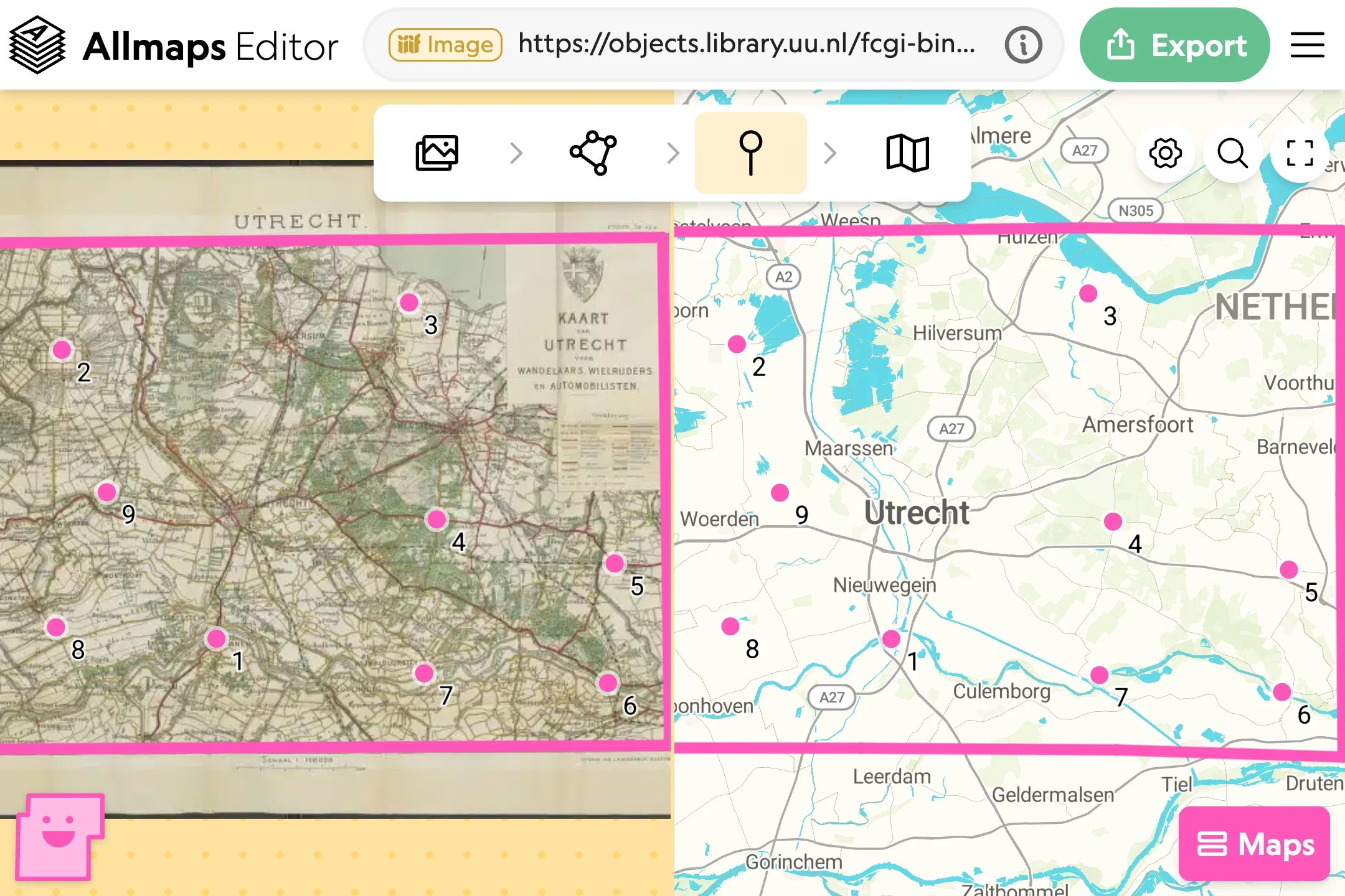
Georeference a map
Find a map’s IIIF link, open it in Allmaps Editor, and match locations on the historical map to a modern map. The image stays with the institution that published it.
You can start without creating an account. The georeferencing guide takes you through the process step by step.
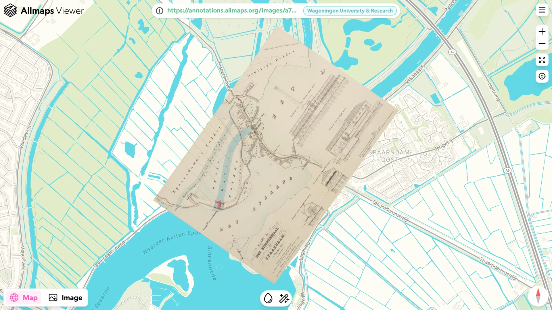
Explore maps
Browse recently georeferenced maps in Allmaps Latest, view a historical map over a modern map in Allmaps Viewer, or discover maps around your current location with Allmaps Here.
See familiar places through maps from another time.
Build with Allmaps
Add historical maps to your website with the MapLibre, OpenLayers or Leaflet plugins. Explore the libraries and APIs, or download open georeference data for your own projects.
Use the parts you need. The whole project is open source.
New to IIIF?
IIIF is a set of open standards that libraries, archives and museums use to share digitized images. Look for an IIIF link or logo on a collection’s map page: that link is your starting point in Allmaps Editor.